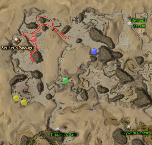
File:Salt Flats map.jpg
From Guild Wars Wiki
Jump to navigationJump to search
No higher resolution available.
Salt_Flats_map.jpg (500 × 476 pixels, file size: 224 KB, MIME type: image/jpeg)
| This screenshot contains property of ArenaNet or NCsoft which is used with permission. The terms of the permission do not include third party use. It is not released under the GFDL. Please see Guild Wars Wiki:Copyrights for further information. |
File history
Click on a date/time to view the file as it appeared at that time.
| Date/Time | Thumbnail | Dimensions | User | Comment | |
|---|---|---|---|---|---|
| current | 00:51, 3 February 2012 | | 500 × 476 (224 KB) | Farlo (talk | contribs) | {{screenshot}} |
| 16:32, 6 December 2011 | 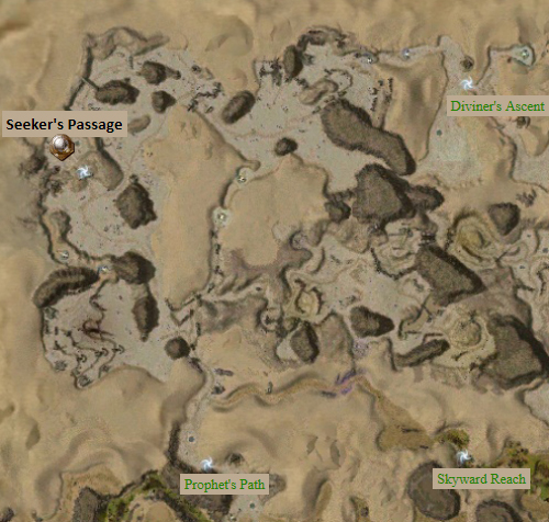 | 500 × 476 (217 KB) | Farlo (talk | contribs) | {{screenshot}} | |
| 22:59, 18 April 2010 | 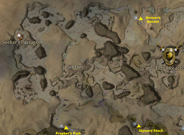 | 641 × 473 (87 KB) | Jacobbs (talk | contribs) | Reverted to version as of 22:59, 18 April 2010 | |
| 22:59, 18 April 2010 | 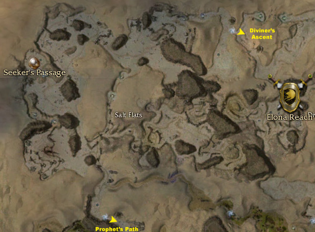 | 641 × 473 (114 KB) | Jacobbs (talk | contribs) | Reverted to version as of 18:24, 4 April 2007 | |
| 22:59, 18 April 2010 |  | 641 × 473 (87 KB) | Jacobbs (talk | contribs) | Added label for Skyward Reach exit, was not a part of the other map. | |
| 18:24, 4 April 2007 |  | 641 × 473 (114 KB) | Dirigible (talk | contribs) | {{arenanet image}} Category:Maps of explorable areas | |
| 22:26, 31 March 2007 | 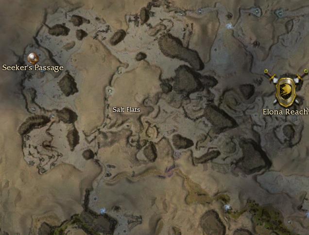 | 636 × 483 (43 KB) | Fox (talk | contribs) | {{arenanet image}} |
You cannot overwrite this file.
File usage
The following 3 pages use this file: